Forests in West Papua are the last frontier or the last hope of forests in Indonesia, so it is important to ensure that forests in Papua remain green. As an effort to conserve the forest, PWYP Indonesia together with Mnukwar Papua held a participatory forest monitoring workshop using the Global Forest Watch platform for civil society organizations in West Papua, which took place last Friday (29/11).
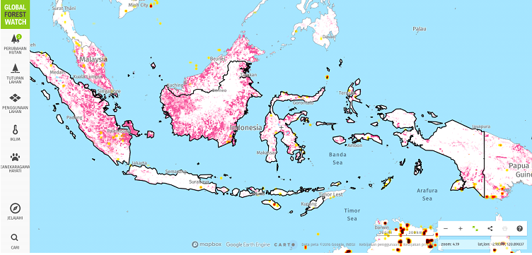
Asri Nuraeni, Program Manager of EI Forest Governance, shared about the use of the GFW platform, forest watcher application, and its features that can be utilized. According to her, GFW allows anyone with an internet connection to find out the latest forest changes through GLAD Alert. GLAD alert functions to identify areas that are likely to experience tree cover loss, with a resolution of 30×30 meters, with a tree canopy cover of at least 5 meters.
By subscribing to GLAD alert via email, this allows anyone to be aware of forest changes in the area called Area of Interest (AoI). However, loss of tree cover is not always deforestation. Loss of tree cover can be caused by a variety of reasons, including deforestation, fire, and logging in the context of sustainable forestry activities.
Besides, the GFW feature also provides land cover information (tree cover, primary forest, mangrove forest, etc); land use (logging, mining, oil palm, oil and gas concessions, RSPO palm oil, etc); carbon emissions and biodiversity. However, unfortunately at this time in the GFW platform, there is no database of mining and palm concessions available in Indonesia.
Thus, to get around this, according to Asri, it is necessary to retrieve data from other sources and combine them in the GFW platform. For mining databases, we can refer to the ESDM geoportal website for the list of operating mining concessions. Likewise, with oil palm, it can use data sources from related offices/ministries.
“After getting the SHP file data or digitizing from the coordinates of the concessions, users can upload the SHP file data or draw the coordinates of the concession, which will be the area of interest (AoI). So, GFW is not a static platform, but can be used according to user needs,” explained Asri.
Responding to this, Sena Aji Handoko, board of Mnukwar Papua said that in some critical lands in West Papua, predominantly dominated by krangas vegetation (a type of thatch), where the height of the tree is less than 5 meters. Therefore, if there is a loss of krangas tree cover, the GLAD alert notification will not appear. Therefore, these critical lands need particular attention, because the height of trees below 5 meters is not detected by the GFW system.
Besides GFW, there is also a forest watcher application that can be accessed offline. This bridges the user’s needs when not connected to the internet. Forest watcher application can also guide users to the location of tree cover loss in the field, as well as reporting feature directly from the field.
Ronny, one of the participants which representative from the Regional Board for Disaster Management (BPBD) said that he would overlay the GFW data with the disaster-prone map. According to him, this forest monitoring application is very useful, because it can be optimized in carrying out disaster risk reduction. By ensuring that deforestation can be prevented, potential disasters such as landslides can be prevented earlier.
Piet Yan Wamaer, Director of Mnukwar said that after the workshop, it would be continued with training for the community. It is hoped that more people will know this tool, and can both monitor and protect our forests.