


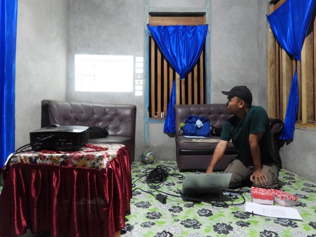
Banggai Islands – Twenty community members from Komba-Komba Village in the Banggai Islands, representing four seaweed farming groups, participated in a two-day participatory mapping training using the Global Positioning System (GPS) and the Avenza Maps application. Facilitated by the Kompas Peduli Hutan Foundation (KOMIU), the training is part of broader efforts to strengthen the protection of coastal ecosystems and karst landscapes from the threat of limestone mining.
The training aimed to equip community members with the skills to independently map their territories using digital technology. By doing so, participants not only gained a deeper understanding of the importance of protecting the natural resources that sustain their livelihoods—such as karst landscapes, freshwater springs, and coastal ecosystems—but also learned how to use technology to support these conservation efforts.
Participants were introduced to Avenza Maps, a smartphone-based application that enables users to document field conditions and collect spatial data. Through the application, they learned how to record GPS coordinates and map important areas within their village, including seaweed farming sites, seagrass beds, mangrove forests, freshwater springs, and the boundaries of karst areas.
The spatial data generated through this mapping process will serve as valuable baseline information to support the protection of ecologically significant areas and strengthen community-based evidence for spatial planning advocacy and sustainable natural resource governance.
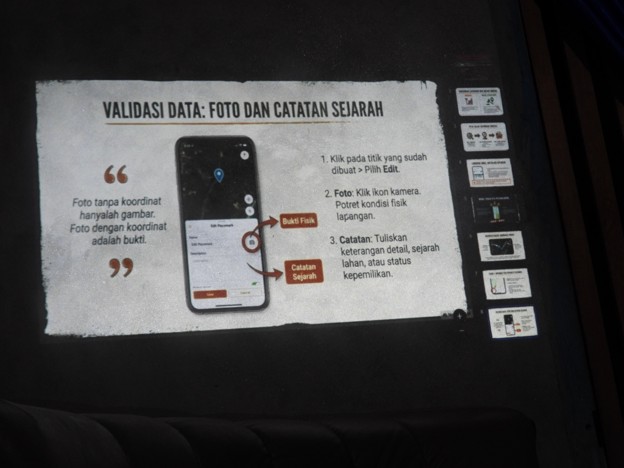
One of the most notable outcomes of the training was the participants’ growing understanding of digital mapping technology—something many had never used before. Several participants were surprised to discover that the smartphones they use every day could also function as navigation tools capable of recording precise geographic coordinates.
“We never realized that the mobile phones we use every day could also be used to record GPS coordinates. Until now, we only used them for communication,” one participant said.
In addition to learning how to accurately identify locations, participants also practiced using the application to measure the size of their land and aquaculture areas. This skill is considered essential for documenting community assets while also monitoring landscape changes that may result from development projects or mining activities.
The training combined classroom sessions with hands-on field exercises. Participants were divided into small groups to collect GPS coordinates, create mapping routes, measure land areas, and document local conditions using their smartphones. This practical approach allowed community members to gain first-hand experience, enabling them to apply these skills independently in safeguarding their livelihoods in the future.
By strengthening community capacity in participatory mapping, the initiative seeks to ensure that coastal communities are no longer merely recipients of information, but are also capable of producing accurate spatial data on the areas they manage.
Looking ahead, the data generated through participatory mapping is expected to serve as a foundation for communities to strengthen the protection of their customary and managed areas, support sustainable coastal management, and enhance the conservation of karst ecosystems, mangrove forests, seagrass meadows, and freshwater springs. The information will also provide important evidence to advocate for policies that protect the karst landscapes and coastal ecosystems of the Banggai Islands from the threat of limestone mining.
Author: Given
Reviewers: Ariyansah NK and Meliana Lumbantoruan